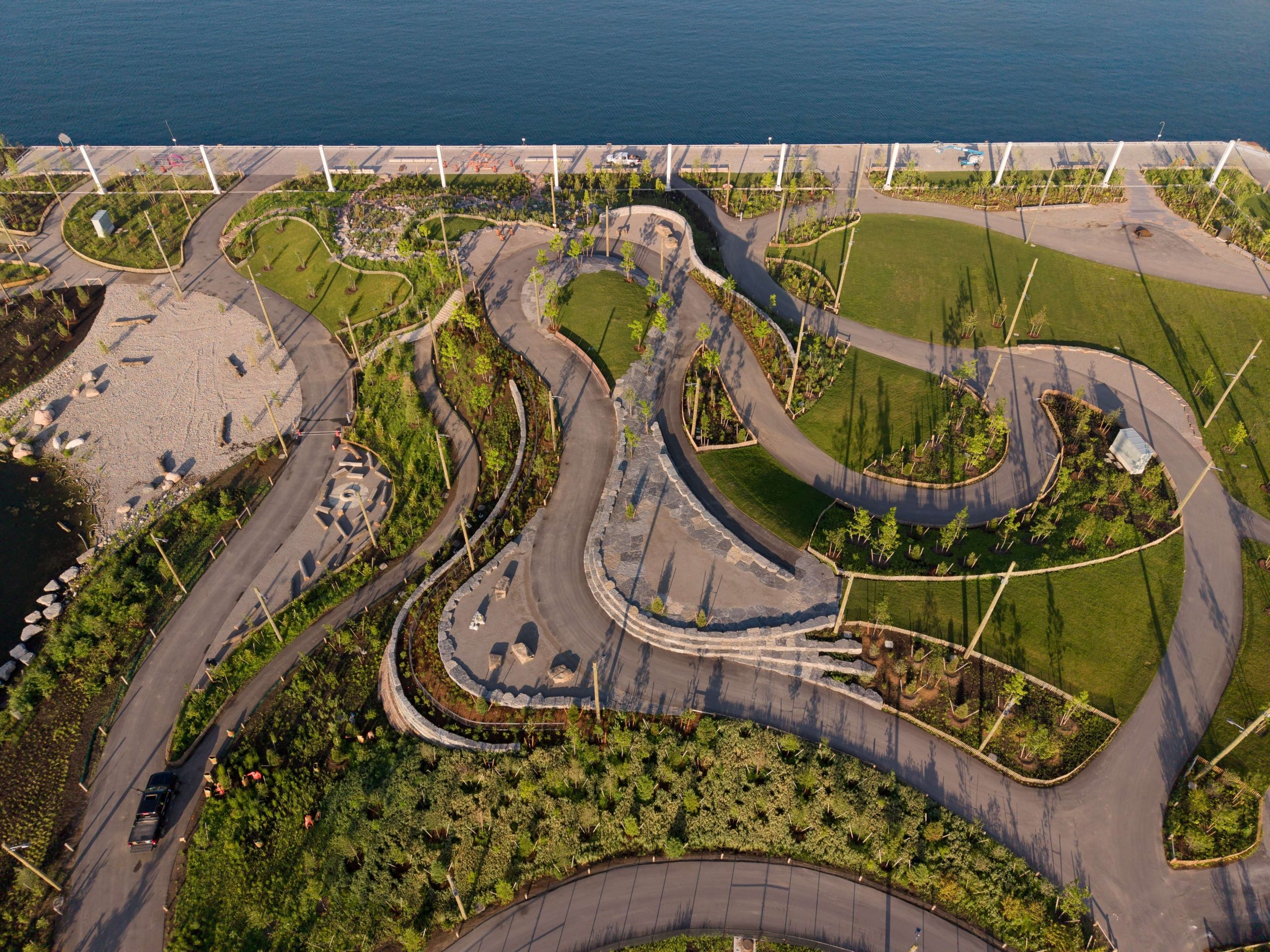
On Friday morning, Toronto’s waterfront added 10 acres to Biidaasige Park, located at Cherry and Commissioners Streets, extending public access to the eastern shoreline and a one‑kilometre segment of the Don River.
The addition is part of the Port Lands Flood Protection project, a $1.4 billion initiative funded jointly by federal, provincial and municipal governments, each contributing roughly $465‑$471 million.
The flood‑protection scheme aims to safeguard 174 hectares (430 acres) from extreme flooding while creating space for mixed‑use development that includes wetlands, river valleys, public spaces, housing, jobs and neighbourhood amenities.
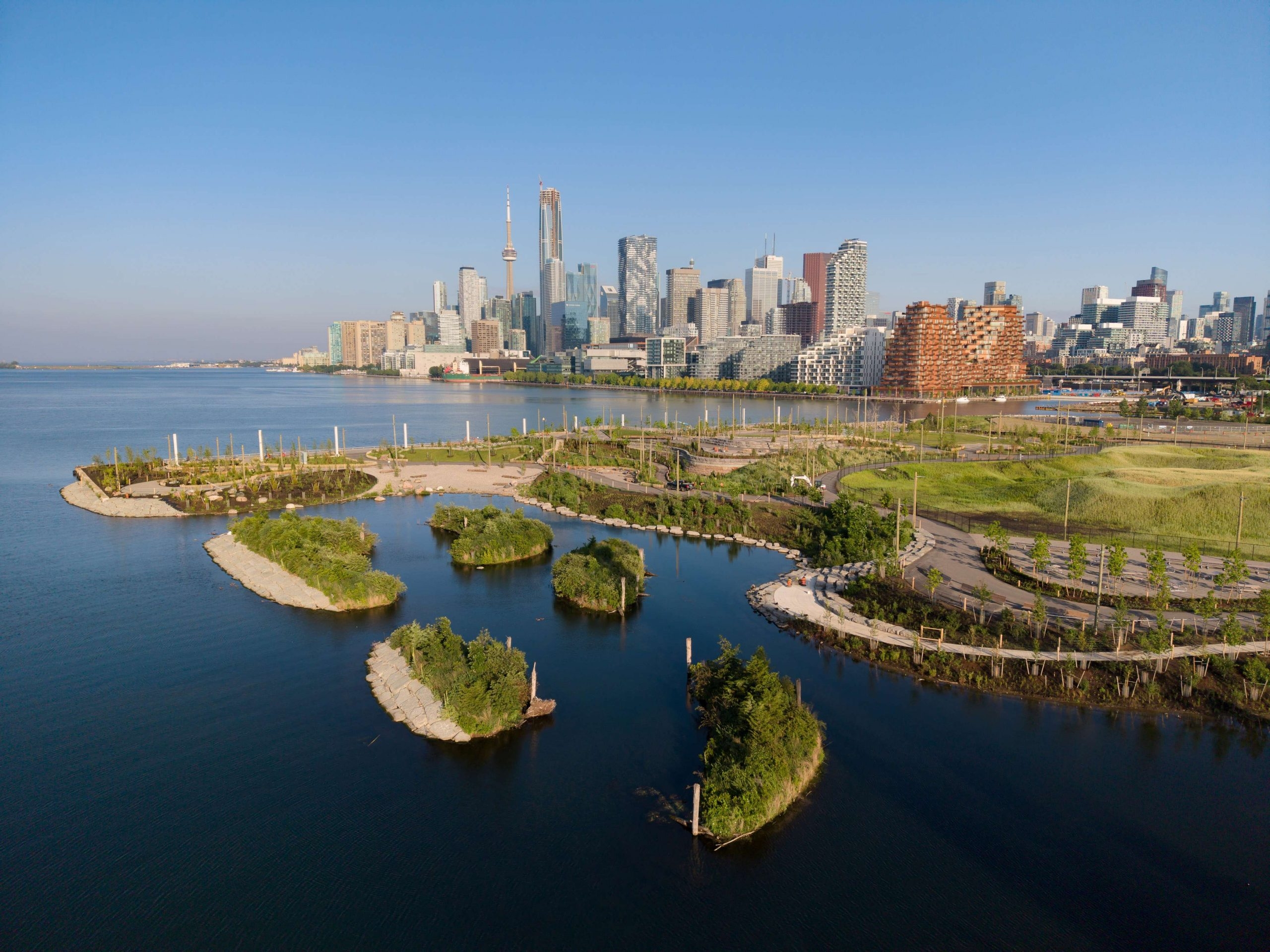
Officials describe the Port Lands as one of the largest underdeveloped downtown waterfront areas in North America, previously limited by flood risk and contaminated soils.
The new parkland, comparable in size to the Rogers Centre and five times larger than Sugar Beach, joins the existing park opened last summer, bringing the total to about 60 acres with an additional five acres slated for future completion.
A newly formed island, Ookwemin Minising, will be encircled by Biidaasige Park and is planned as a green, livable neighbourhood capable of housing roughly 21,000 residents and supporting about 2,900 jobs over the next 25 years.
A request for qualifications has been issued to identify a building partner for the first 700 homes on the island, marking the initial phase of residential development.
When fully realized, Biidaasige Park will exceed twice the size of Chicago’s Millennium Park, a landmark transformation that turned a former rail yard into a major urban attraction.
The project underscores Toronto’s commitment to waterfront revitalization and resilient urban design, positioning the city as a model for large‑scale public‑space regeneration.