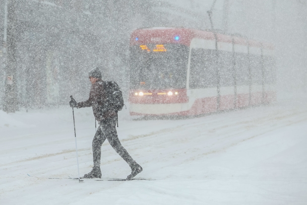
A deceptive calm has settled over the Greater Toronto and Hamilton Area, but residents should brace themselves. The brief respite from frigid temperatures is about to end, replaced by a dangerous return of winter’s icy grip starting Wednesday.
The approaching weather system promises a chaotic mix of precipitation, varying dramatically depending on location. Most of the region will be battling freezing rain and treacherous icy conditions – and the timing couldn’t be worse, coinciding with the morning commute and lasting well into the evening.
Durham Region faces the most severe threat, currently under a winter storm watch. While the exact nature of the precipitation remains uncertain across southern Ontario, meteorologists emphasize the critical need for preparedness and constant forecast monitoring.

A delicate balance around the freezing mark is the key to this storm’s unpredictability. The system is expected to deliver snow and freezing rain, but the precise amounts and even the dominant form of precipitation are still unclear.
The potential for several hours of ice pellets mixed with freezing rain and snow is very real. From Halton Region to Toronto, anticipate a prolonged period of freezing rain, potentially accumulating 5 to 10 millimetres of ice, alongside a possible 5 centimetres of snow.
Hamilton and Stoney Creek are under a specific freezing rain warning, forecasting 2 to 5 millimetres of ice build-up. Icy and slippery conditions are guaranteed, demanding extreme caution on roads and walkways.
Areas east of Highway 400, stretching towards cottage country and Kingston, may largely escape the freezing rain, instead receiving more snow or ice pellets. Durham Region, however, is bracing for significant snowfall – 10 to 15 centimetres are predicted.
Adding to the danger, strong winds will exacerbate the situation, particularly in areas near Lake Ontario. The eastward wind, unimpeded by natural barriers, could gust up to 60 km/hr, intensifying the chill and creating hazardous conditions.
Travel delays are almost certain, and motorists are strongly advised to allow extra time and exercise extreme caution. The weather agency warns of potential power outages caused by ice-laden tree branches falling onto power lines.
Beyond the immediate travel hazards, the risk of flash flooding and water pooling on roadways is also present. This storm is a stark reminder of winter’s power and the importance of staying informed and prepared.


