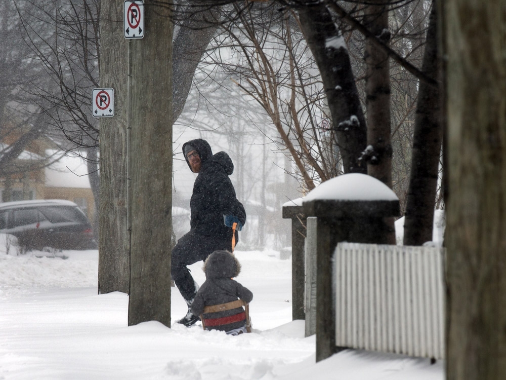
A nation braces itself as a formidable weather system descends, unleashing a barrage of extreme conditions from the Atlantic to the Pacific. Coast to coast, communities are facing a complex mix of threats – biting cold, ferocious winds, and heavy precipitation in various forms.
Warnings are widespread, with most regions under yellow alerts indicating potentially localized, though disruptive, weather. However, the situation is far more critical in Newfoundland, where conditions have escalated to orange warnings, signaling a prolonged period of multiple severe weather events.
Newfoundland and Labrador are bearing the brunt of the storm, with blizzard-like conditions already gripping the Cartwright and Baie Verte areas. Forecasts predict a staggering accumulation of up to 60 centimeters of snow, threatening to paralyze travel and daily life.

Adding to the danger, powerful winds are sweeping across Newfoundland and the eastern Labrador coast. Gusts are expected to reach a terrifying 110 kilometers per hour, combining with the heavy snowfall to create whiteout conditions and near-zero visibility.
The impact is already being felt, with approximately 4,200 homes and businesses plunged into darkness as power outages ripple through Newfoundland. Crews are working to restore service, but the ongoing storm is hindering their efforts.
A shift in the weather pattern is anticipated for southern Newfoundland, where the snow is predicted to transition to rain Saturday morning. This change, while offering a temporary reprieve from the snow, could introduce new challenges with potential flooding.
Southern Ontario is facing a treacherous combination of freezing rain, snow, and ice. Areas north of Toronto could see accumulations of 5 to 12 centimeters of snow, while icy conditions will make travel hazardous.
Further north, from Sault Ste. Marie to Thunder Bay, a substantial snowfall of around 15 centimeters is expected, adding to the already challenging conditions. Roads will become slick and visibility will be reduced.
Western Canada is locked in a deep freeze, with extreme cold gripping northern Alberta, British Columbia, and the Yukon. In the Dawson and Beaver Creek regions, wind chill values are plummeting to a dangerous minus 55, posing a serious risk of frostbite.
Despite the widespread hardship, there is a silver lining for winter sports enthusiasts. Alberta’s Lake Louise Ski Resort is celebrating the best start to the season in years, boasting over 55 centimeters of fresh snowfall in the last week, with more on the way.
The mountain is now primed for exceptional skiing and snowboarding, offering a welcome escape for those seeking adventure amidst the harsh winter landscape. The recent snowfall has transformed the slopes into a powder paradise.


